ADAM Data Centre
ADAM Technology's Data Centre is able to provide a complete mapping solution to suit your requirements, using ADAM hardware and software products.

ADAM can send staff onsite to acquire the images (both aerial and terrestrial) or, alternatively, advise the customer on how to capture the images and then forward the images to ADAM for processing.
Capabilities
Aerial Photography
Ortho Photo Generation
Digital Mapping — digitised 3D data and terrain models can be provided in AutoCAD DXF format; 3D images can be provided in Vulcan 00t+ireg, 3D TIFF, and Alias Wavefront OBJ formats
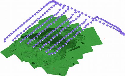
Volume calculations of stockpiles, mine pits, subsidence zones, etc.
Camera Calibration
ADAM Technology can calibrate digital cameras and lenses for use with the 3DM Analyst family of products for customers using 3DM Analyst Lite or 3DM Analyst Lite Suite.